Geofences
Geofences (areas or lines drawn on the map) are a very powerful feature of Nebo Fleet.
You can use geofences to define areas like restricted zones or destination locations, and have Nebo Fleet automatically log entries and exits, as well as send you alerts.
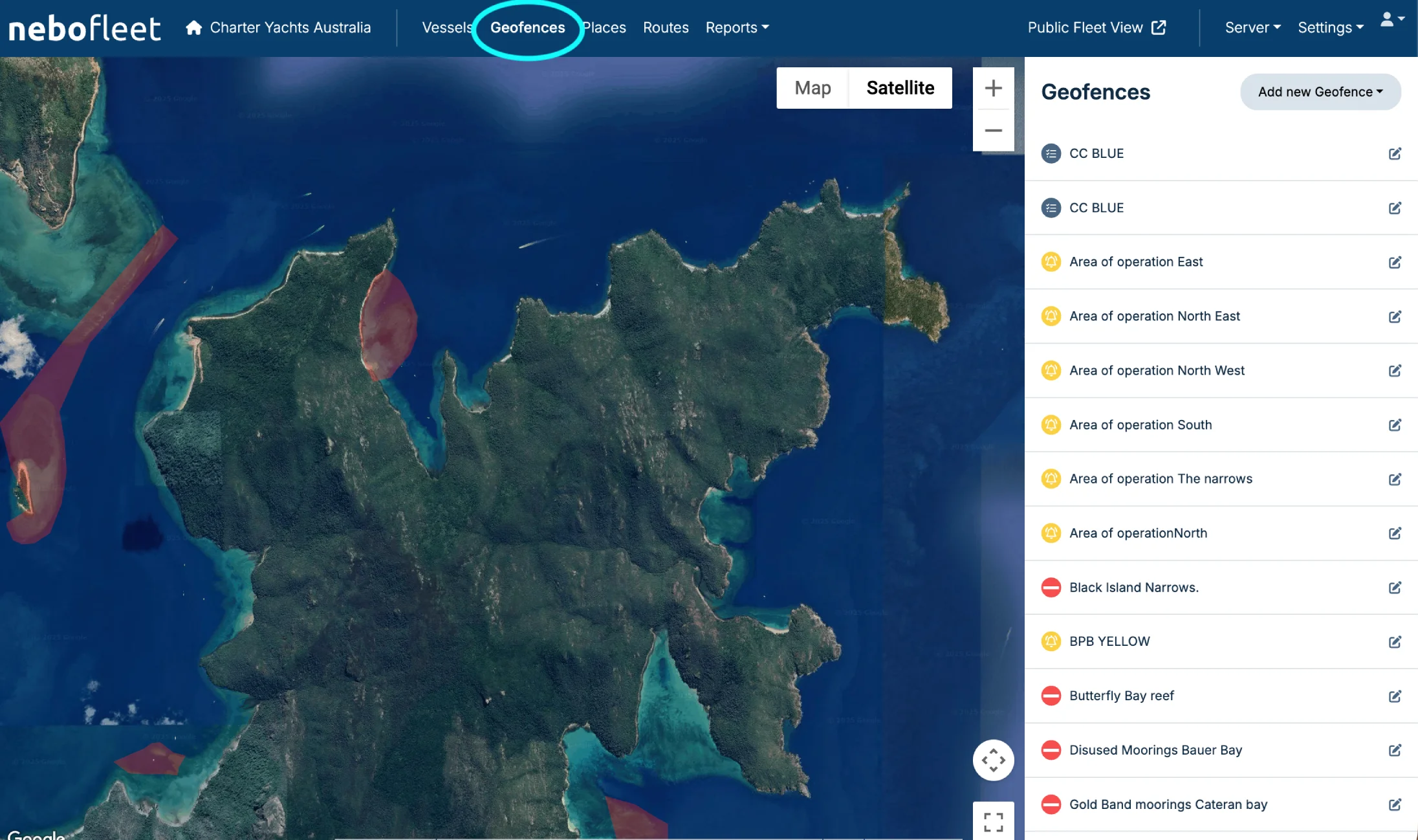
Open the Geofences Menu
To get started, click to open the Geofences menu from the main navigation.
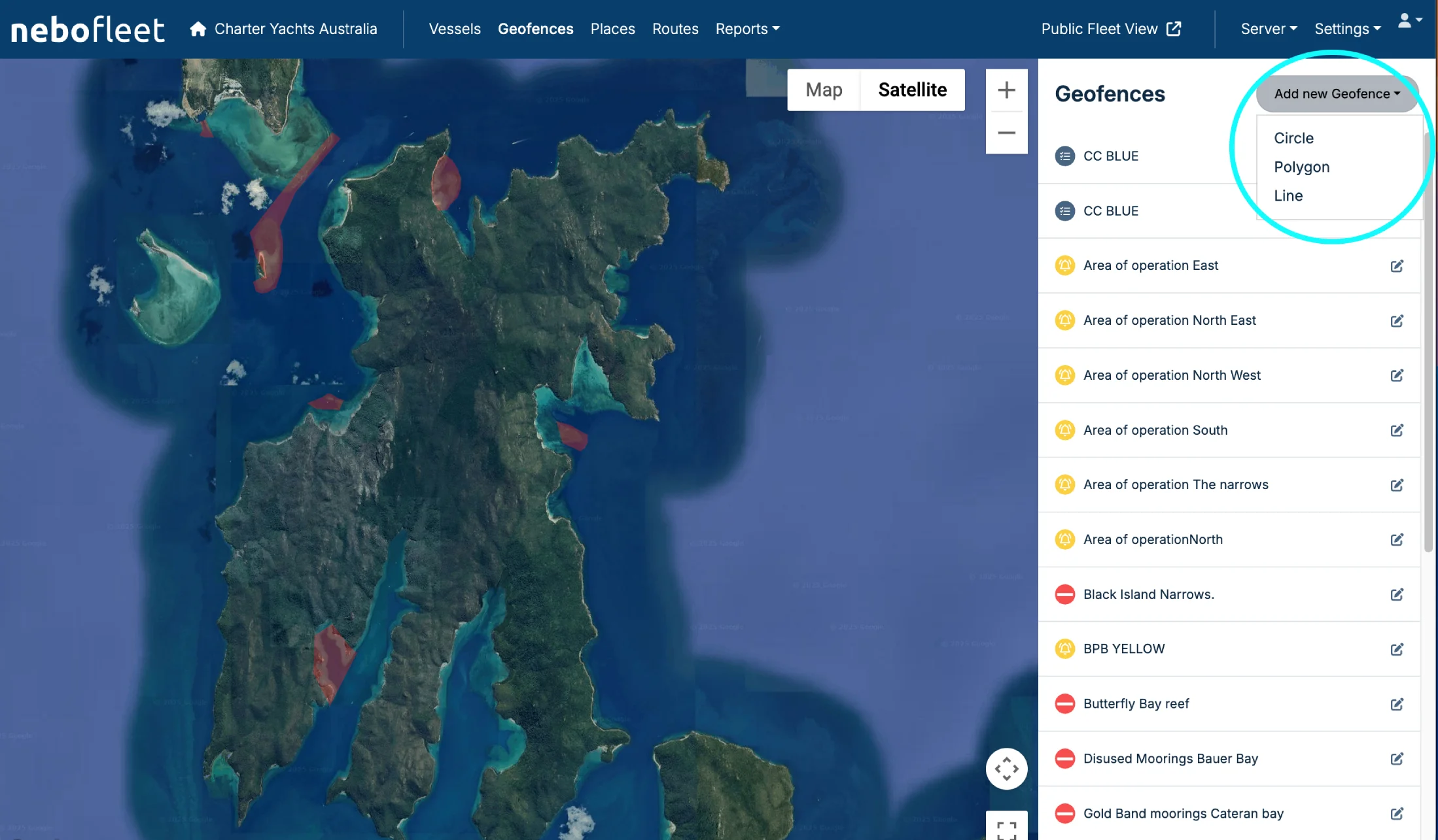
Add a New Geofence and Choose a Shape
Click to add a new geofence and choose the geofence shape that best fits your needs.
- Circle geofences are useful for moorings.
- Use polygon geofences to define areas like bays, docks, and marinas.
- Use line geofences for headlands and bridges.
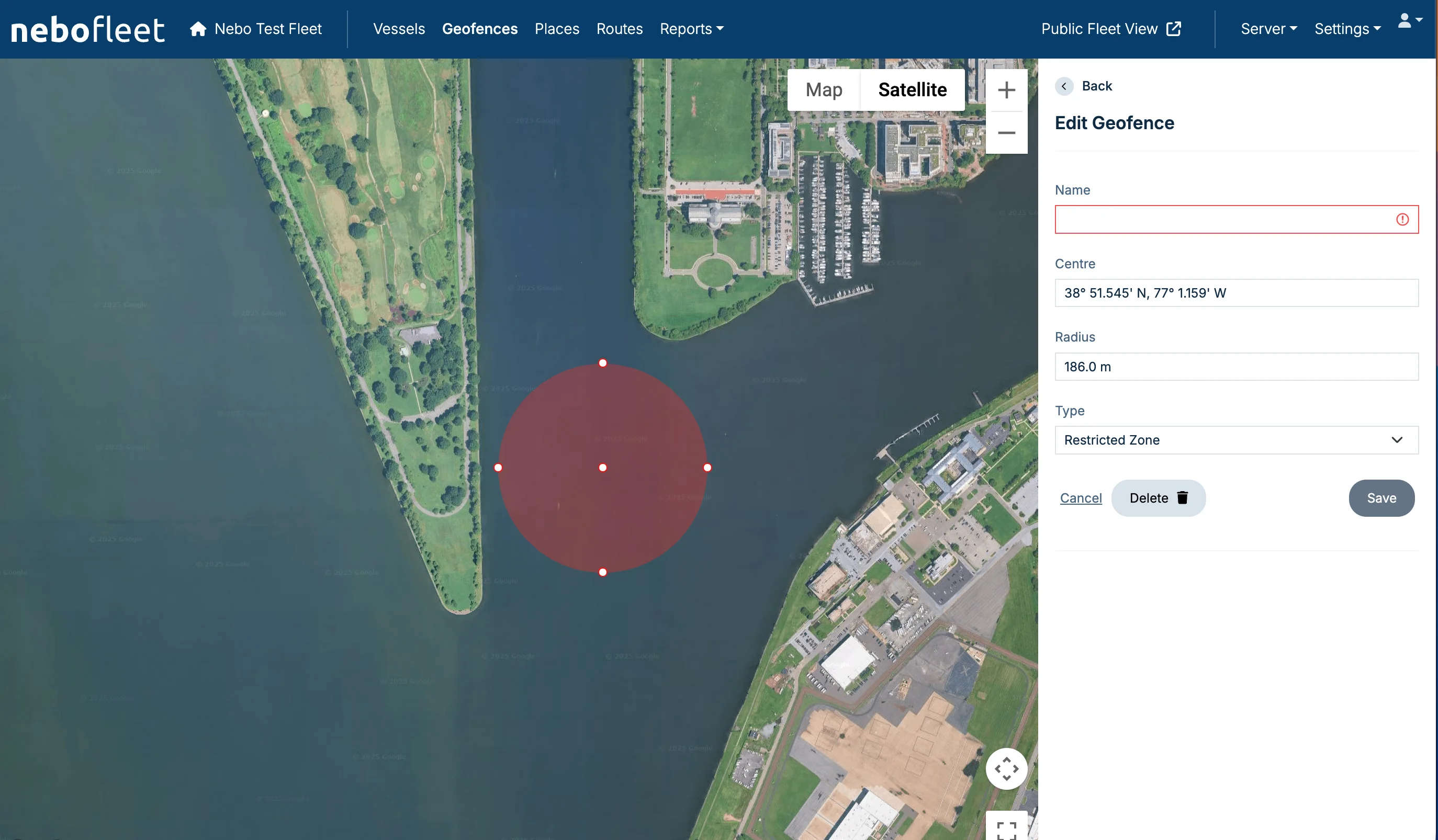
Adjusting the Geofence
While you add or edit a geofence, you can resize it or add more detail by dragging the dots on the map.
Geofence Tips and Alerts
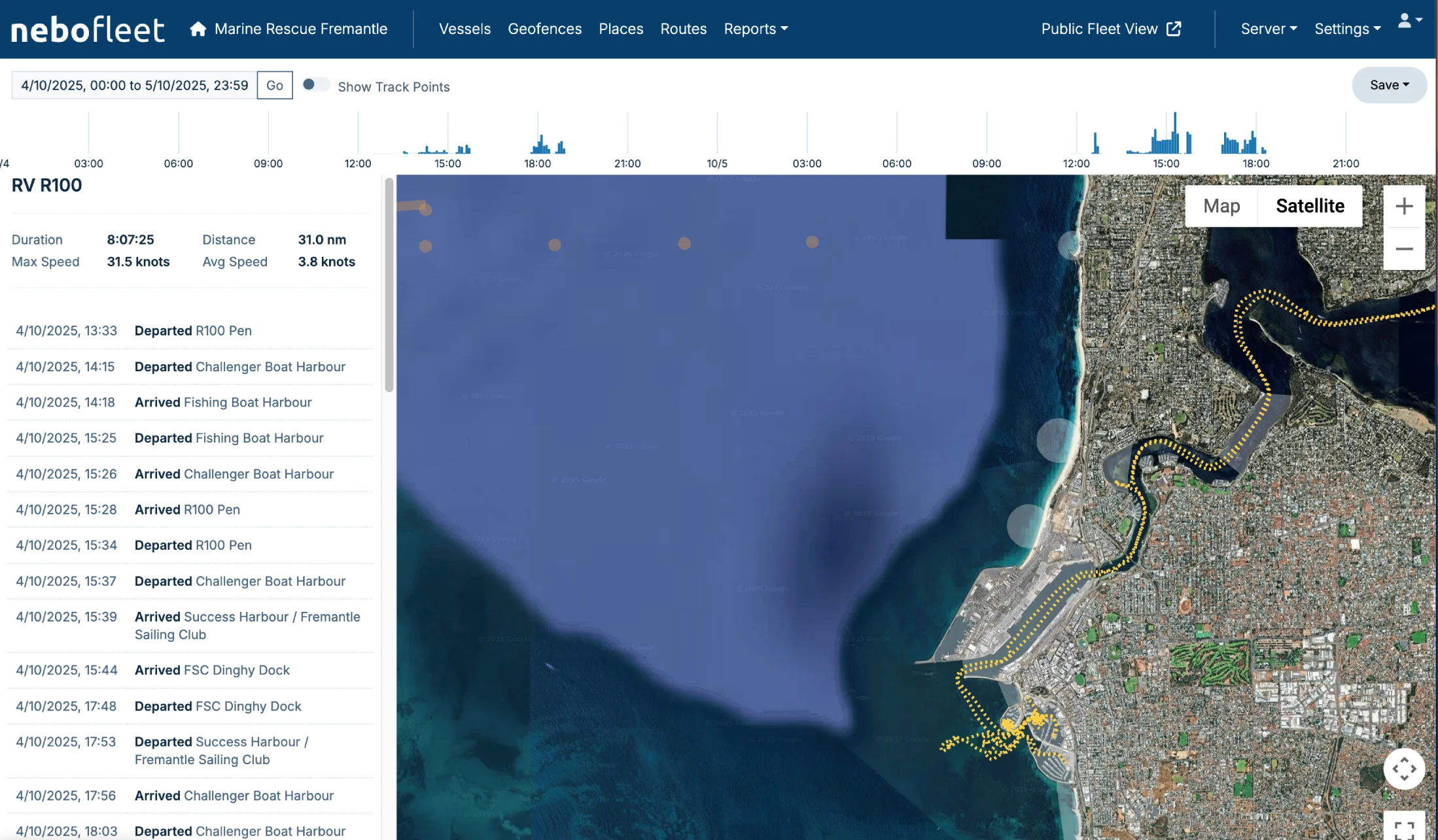
- Logging: All geofence entry, exit, or crossing events are automatically logged for each vessel (viewable in Vessel Logging).
- Alerts: "Restricted Zone" and "Notify" geofence events trigger email/SMS alerts.
- Speeding: Speeding in a "Speed Restricted Zone" also generates an alert.
- Line Geofences: Line geofences include a ‘Crossing Type’. For example, choose ‘Passed under’ for bridges so the log entry properly reads “Passed under Golden Gate Bridge”.